National Gis Day
Welcome to National GIS Day! Get ready to explore the wonderful world of Geographic Information Systems (GIS) and all the incredible things they can do. Whether you're a geography enthusiast, a map nerd, or just someone who appreciates the power of spatial data, this national day is right up your alley. So buckle up and join us on this digital journey!
When is Gis Day?
It's national gis day on the 13th November.
The Rise of National GIS Day
Did you know that National GIS Day has been celebrated since 1999? That's right, this special day has been around for more than two decades, showcasing the cutting-edge technology and innovative applications of GIS. It all started when geospatial professionals realized the need for a day dedicated to raising awareness about GIS and its impact on our daily lives.
Since then, National GIS Day has grown in popularity, uniting geospatial enthusiasts, professionals, educators, and students from all around the world. It's a day filled with workshops, presentations, webinars, and map competitions, all aimed at spreading the love and knowledge of GIS.
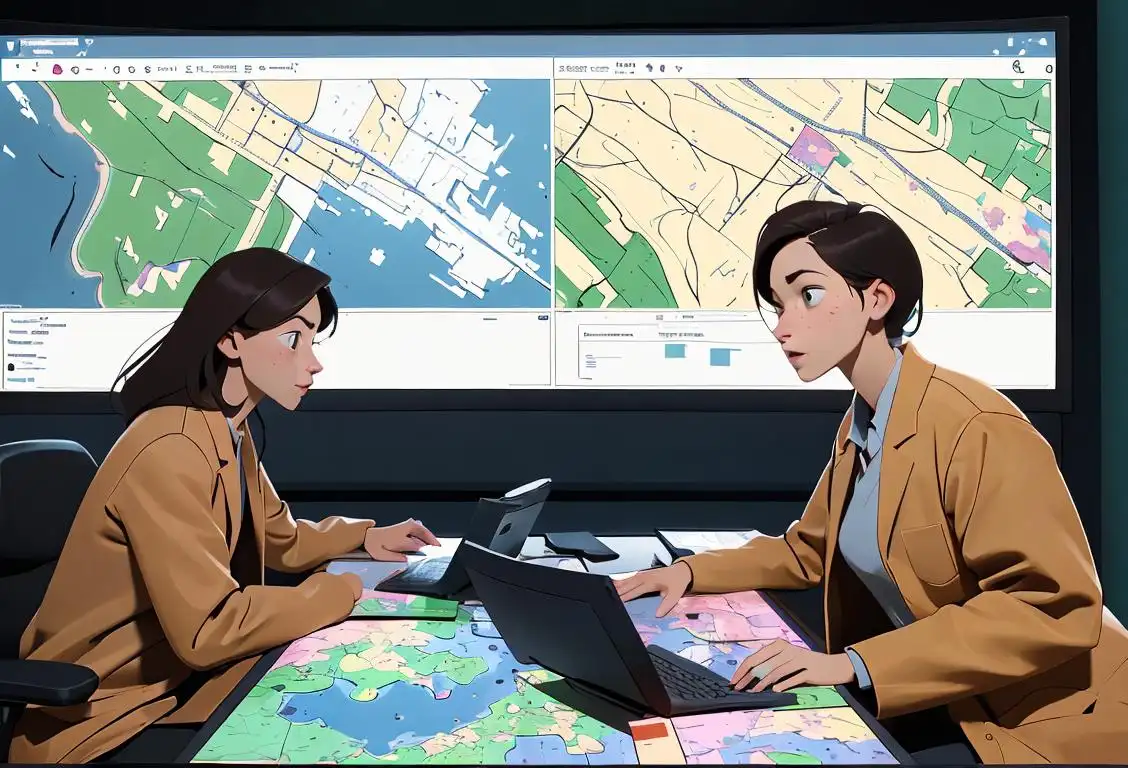
The Power of GIS
GIS is like a digital superhero with the power to transform location-based data into stunning maps, visualizations, and analysis. Want to know the best route for your road trip? GIS can calculate that for you. Curious about the demographics of your neighborhood? GIS can show you that too. From city planning to natural resource management, GIS has countless applications in various industries.
With the rise of technology and the increasing availability of spatial data, GIS has become an invaluable tool in understanding our world. It helps us make informed decisions, solve complex problems, and gain insights into patterns and trends that may have otherwise gone unnoticed.
Celebrating National GIS Day
On National GIS Day, people around the globe come together to celebrate, educate, and inspire. Workshops and conferences are organized to showcase the latest GIS technologies and advancements. Professionals share their experiences and insights, while educators introduce students to the wonders of geospatial technology.
One of the highlights of National GIS Day is the map competition, where individuals and organizations submit their stunning maps and visualizations for a chance to win recognition and prizes. It's a creative and exciting way to demonstrate the power of GIS and showcase its real-world applications.
History behind the term 'Gis'
1963
GIS emerges as a concept
In 1963, the term GIS (Geographic Information System) was first coined by Roger Tomlinson, a Canadian geographer. It emerged as a concept to refer to a computer-based system for capturing, storing, analyzing, and displaying geographic data. This marked the beginning of a new era in data management and analysis within the field of geography and beyond.
1968
Harvard Laboratory develops the first GIS
In 1968, the Laboratory for Computer Graphics and Spatial Analysis at Harvard University developed the first operational GIS. This system, known as the Harvard Laboratory GIS, enabled users to manipulate and analyze spatial data using a mainframe computer. It laid the foundation for future advancements in GIS technology.
1980s
The rise of desktop GIS
During the 1980s, with the advent of personal computers, the GIS technology became more accessible to a wider audience. Desktop GIS software, such as Arc/INFO and ARC/INFO, was introduced, allowing users to perform spatial analysis and mapping tasks on their own computers. This democratization of GIS led to its increased popularity and integration into various industries.
1990s
Web-based GIS revolutionizes accessibility
In the 1990s, the emergence of the World Wide Web brought about a significant transformation in the field of GIS. Web-based GIS applications, like MapQuest and Google Maps, enabled users to access and interact with geographic data through a standard web browser. This breakthrough made GIS technology widely accessible to the general public and revolutionized the way we navigate and explore the world.
2005
The rise of Open Source GIS
Around 2005, the open-source movement gained momentum in the GIS community. Projects like Quantum GIS (QGIS) and PostGIS offered free and customizable alternatives to traditional proprietary GIS software. This shift towards open-source GIS not only reduced barriers to entry but also encouraged collaboration and innovation within the GIS community.
Present
GIS permeates diverse fields
Today, GIS technology has become an integral part of numerous industries, including urban planning, environmental management, transportation, emergency response, and public health. With the advent of advanced technologies like remote sensing, GPS, and mobile devices, GIS continues to evolve and play a crucial role in solving complex spatial problems and making informed decisions.
Did you know?
Did you know that GIS technology helps track Santa Claus during Christmas? That's right, thanks to GIS, you can find out where Santa is on his worldwide journey delivering presents to children. So make sure to keep an eye on your local GIS system on Christmas Eve!Tagged
awareness fun technologyFirst identified
18th November 2015Most mentioned on
13th November 2019Total mentions
74Other days

Cse Day

Engineers Day

Battery Day

Indexing Day

Security Is At Greater Risk Every Day

Hydrogen Day

Manufacturing Day

Stem Day

Dam Safety Awareness Day
Gis Day